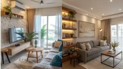

I’ve spent the last fifteen years working on projects that move between scales — from the curve of a car door to the proportions of an entire building facade. And one thing that keeps showing up in every discipline is the same basic truth: good design changes how people feel in a space. It doesn’t matter if that space is a cockpit or a courtyard. Get the proportions wrong, and people feel it.
Residential developments are the biggest test of this principle. They’re where architecture, urban planning, industrial design thinking, and plain old human psychology all collide. Done well, they produce neighborhoods where people genuinely want to live. Done poorly, they produce places people endure.
This is what I want to get into — not policy theory, not developer pitch decks, but how design decisions at every scale shape what urban living actually feels like.
What residential developments do for city life
Residential developments shape city life by deciding how people move, meet, rest, shop, and feel safe every day. A strong project does more than add housing units. It connects homes to transit, keeps everyday services within walking distance, gives residents usable outdoor space, and makes streets comfortable at human scale. The best developments also balance private space with shared amenities, so the neighborhood works for children, older adults, commuters, and people who simply want a calm place to come home to.
Residential development quality checklist
| Design check | What to look for | Why it matters |
|---|---|---|
| Walkability | Short blocks, active edges, shade, safe crossings | People use the street because it feels easy and safe. |
| Transit access | Homes within a practical walk of rail, tram, bus, or rapid transit | Daily trips do not depend entirely on cars. |
| Mixed use | Ground-floor services, small retail, cafes, clinics, and childcare | The district stays useful throughout the day. |
| Housing mix | Different unit sizes, tenure options, and price points | The neighborhood can support different life stages and incomes. |
| Public realm | Courtyards, pocket parks, seating, lighting, and clear entrances | Shared space becomes part of daily life, not leftover land. |
| Safety by design | Natural surveillance, visible entrances, maintained edges, and human-scale lighting | Residents feel ownership and can read the space quickly. |
| Long-term maintenance | Durable materials, simple planting, clear drainage, and repairable details | The development can age well after the launch phase. |
- Walkability starts with how streets are drawn
- Redevelopment: when a neighborhood gets a second chance
- Affordable housing: design quality is not optional
- Transit-oriented planning and the geometry of density
- Community engagement as a design input, not a checkbox
- Land recycling and the spatial intelligence of working with what's there
- Public safety through design: what CPTED actually means
- What good residential development actually delivers
- Frequently Asked Questions
- What are residential developments?
- How do residential developments improve quality of life?
- What is transit-oriented development?
- What design mistakes do residential developments commonly make?
- How does affordable housing relate to design quality?
- What is CPTED and how does it apply to residential design?
- What is the ideal building-to-street width ratio for walkable neighborhoods?
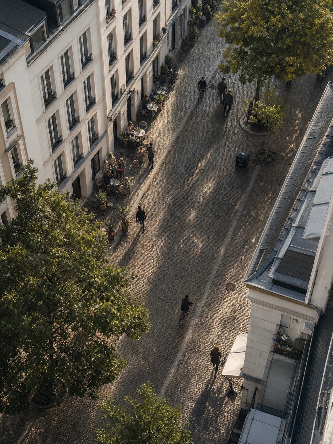
Walkability starts with how streets are drawn
Most people don’t think about walkability the way designers do. They experience it — they either feel comfortable walking somewhere or they don’t. But the mechanics behind that comfort are very deliberate.
Street width. Setbacks. The ratio of building height to street width. These are the variables that determine whether a pedestrian feels enclosed and safe, or exposed and anxious. The research on this goes back to Jan Gehl’s work in Copenhagen in the 1970s, but the principle applies in Kyiv, Berlin, or any growing city today: when the human scale is right, people walk more, interact more, and use cars less.
The 1:1 to 1:2 ratio that makes or breaks a street
Gehl’s data pointed to a building-to-street width ratio between 1:1 and 1:2 as the sweet spot — buildings roughly as tall as the street is wide. Go wider than that, and the street starts to feel like a highway even without traffic. Go narrower, and you get the claustrophobic urban canyon effect.
Modern residential developments that get this right tend to do two things: they keep ground-floor uses active (retail, cafés, services) and they bring the building edge close to the pavement. No ten-meter grass strip between the entrance and the sidewalk. That grass strip kills foot traffic more reliably than anything else I’ve seen.
For street layout standards, I would cross-check the plan against the NACTO Urban Street Design Guide and UN-Habitat housing guidance before treating the masterplan as resolved. Both references keep the conversation focused on streets, housing quality, and everyday urban life instead of render-first development language.
Design tip: Check the building-to-street ratio on your next site before anything else. It determines whether the street will feel safe to walk — no amount of street furniture fixes a wrong ratio.
Bike infrastructure as design intent, not afterthought
Protected bike lanes (actual physical separation, not just paint on asphalt) also change the character of a street dramatically. They signal to pedestrians that speeds are managed. They attract a different kind of foot traffic. And from a design standpoint, they give the street team something to work with: planters, different paving materials, visual rhythm.
The cities that added bike infrastructure in the last decade as part of residential district planning saw measurable changes in how much street-level commercial space filled up. That’s not coincidence. It’s the design working.
Redevelopment: when a neighborhood gets a second chance
I find redevelopment more interesting than greenfield projects, design-wise. You’re not starting with a blank site — you’re dealing with existing street grids, historic building stock, community identity, sometimes contaminated land. The constraints force better design.
The Liberty Square redevelopment in Miami is a project I’ve studied closely. It replaced 1930s public housing that had been designed with the “tower in the park” logic — isolated blocks with open space between them that became unsafe because no one was naturally present to watch it. The redesign reconnected those blocks to the street grid, introduced mixed income housing, and added ground-floor retail that created natural foot traffic. Crime dropped significantly. Property values in the surrounding neighborhood increased. Both outcomes came directly from design decisions.
The design mistake that defined a generation of public housing
“Tower in the park” is worth understanding because its failure was entirely predictable to anyone who studied how people actually use outdoor space. Oscar Newman’s defensible space research in the 1970s showed that residents took care of spaces they felt personal ownership over (small semi-private areas adjacent to their units) and ignored large communal spaces shared by hundreds of people. The towers created exactly the wrong configuration.
Modern residential developments that partner with a thoughtful real estate development company have largely absorbed this lesson. Mixed-height buildings. Clear transitions from public street to semi-private courtyard to private entrance. Sight lines designed so residents can see who’s approaching. These aren’t expensive interventions — they’re configuration decisions made early in the design process.
Preserving identity while changing everything else
The harder part of redevelopment is cultural. People who live in a neighborhood, even one with poor-quality housing, have built relationships, routines, and identity there. Wipe all of that with a wholesale rebuild and you get displacement. Keep the form but improve the function, and you get something that residents actually want to return to.
Some of the most successful redevelopments use existing street names, retain historic facades where structurally possible, and incorporate community-gathered input directly into the design brief. Melrose Commons in the South Bronx is the textbook case. Residents worked with planners over years before a single drawing was produced. The result is a neighborhood that changed almost completely while still feeling like itself.
Affordable housing: design quality is not optional
There’s a persistent assumption that affordable housing means lower design quality. I’d argue the opposite is true — you have less budget to waste on materials, so every spatial decision has to count more. That forces clarity.
The Orchard Village Apartments project in Detroit, rehabbed from a collapsed public housing site, proved this. The design team prioritized light access, apartment layouts that maximized usable floor area per square meter, and communal outdoor spaces at a human scale. The construction used modular prefab components that cut costs while maintaining finish quality. Units filled quickly. Turnover stayed low.
What layout does to lived experience
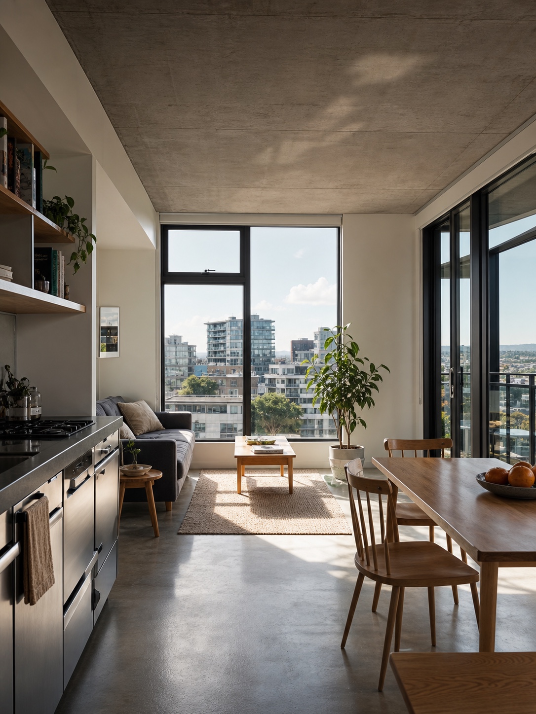
Floor plan efficiency matters more in affordable housing than anywhere else. A 60-square-meter apartment that’s designed with a good kitchen triangle, adequate storage, and natural light in the main living area will feel comfortable. A 60-square-meter apartment with the same area but poor layout will feel cramped regardless of finishes.
I spent time early in my career on space optimization projects — primarily for compact vehicle interiors, but the logic transfers directly to residential layouts. You’re solving the same problem: how do you make a constrained volume feel bigger than it is? Sightlines, storage integration, transitions between zones. None of this requires premium materials. It requires good proportion work and careful thinking about how people actually move through space.
Materials honesty as an aesthetic decision
One design move that ages well in affordable developments is materials honesty — using concrete as concrete, not hiding steel behind cladding that tries to look like something else. Le Corbusier’s Unité d’Habitation in Marseille did this in 1952 and it still looks intentional. Many of the housing blocks built around the same time using cheaper imitation materials look terrible now.
The cost difference between using a material honestly and using it to fake something else is often minimal. The lifespan difference is decades.
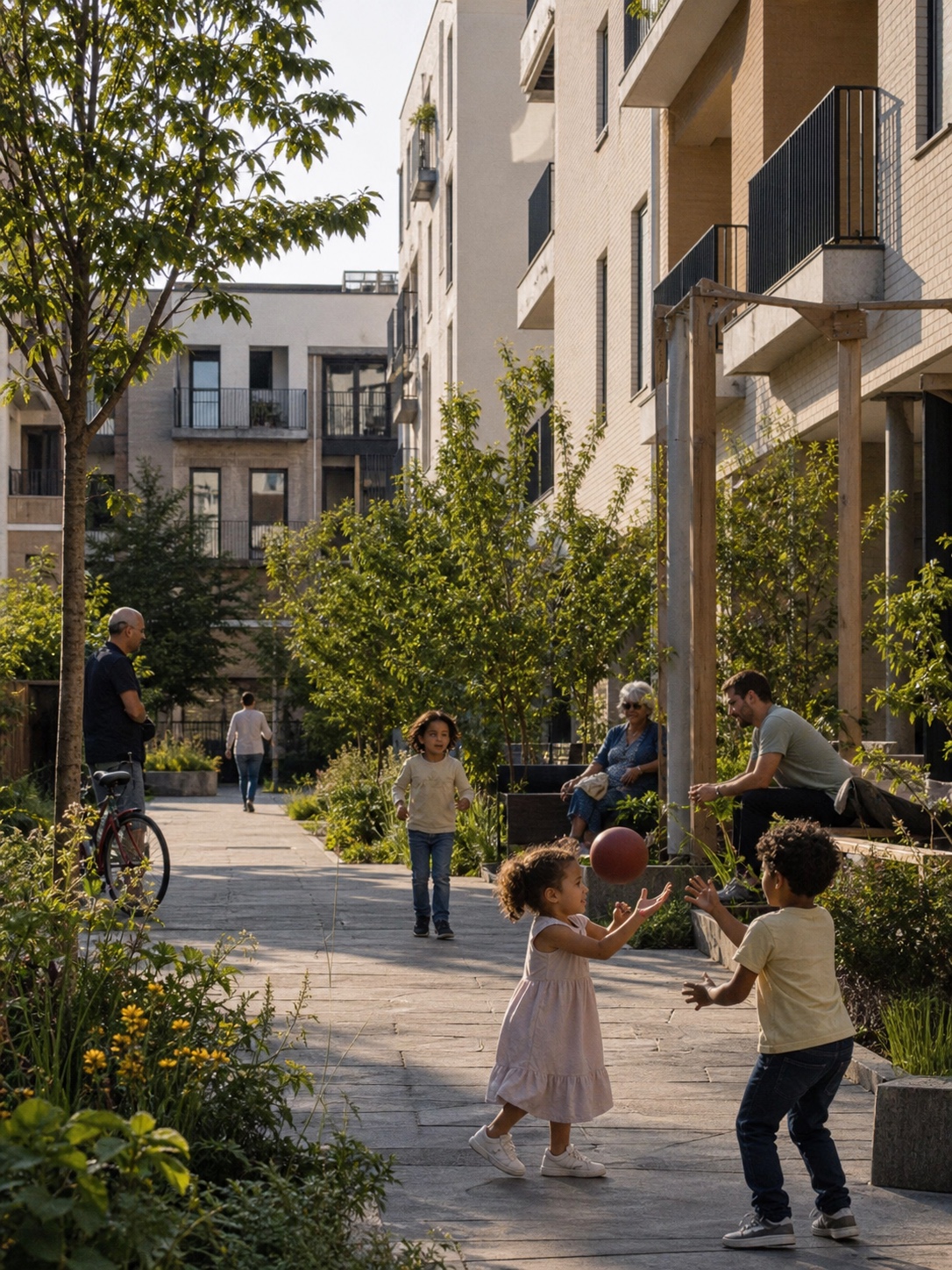
Transit-oriented planning and the geometry of density
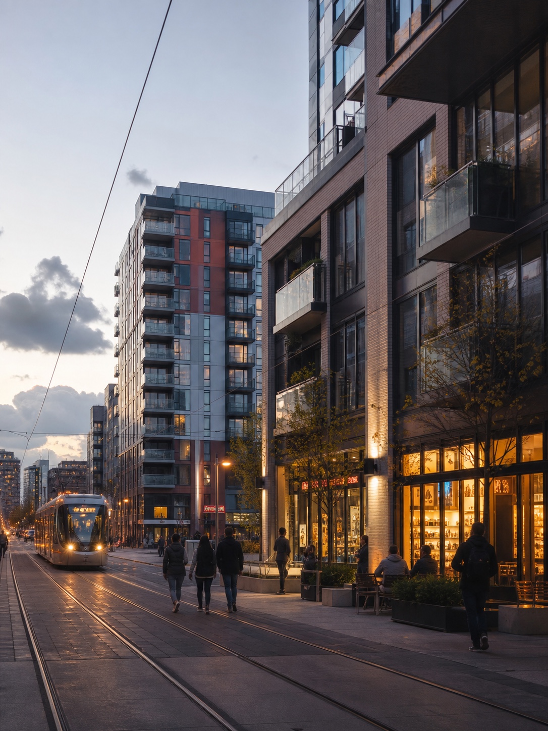
Transit-oriented development has become one of those terms that gets applied to almost anything near a bus stop, which dilutes its meaning. The real version is something specific: high-density mixed-use development within a 500-800 meter radius of a rail or rapid transit node. That distance is roughly a 10-minute walk. Beyond that threshold, most people default to a car.
The geometry matters. You need enough density within walking distance to make the transit financially viable, and you need the street connectivity to make walking feel safe and direct. A development that sits 600 meters from a metro station but requires a 1.2-kilometer walk because of a dead-end street pattern is not truly transit-oriented. It’s just close.
Mixed use as density amplifier
The design principle that makes TOD work is not just residential density — it’s vertical mixing. Ground-floor retail with residential above. Office or co-working space on the third floor. A café that opens at 7am and closes at midnight creates a different street condition than one that opens at noon. That extended presence (what Jane Jacobs called “eyes on the street”) changes how safe the surrounding area feels at different hours.
Vienna’s Seestadt Aspern district is probably the most sophisticated recent example. The entire project was designed around a U-Bahn extension that opened in 2013. The master plan specified ground-floor uses at every block, with minimum street frontage requirements that prevented the blank-wall problem you see in cheaper TOD projects. Seven years in, the commercial spaces are mostly occupied and the district has developed a genuine neighborhood character.
Community engagement as a design input, not a checkbox
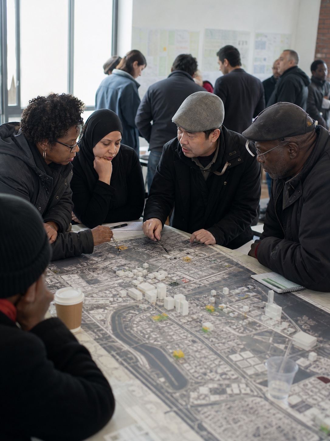
Here’s a design observation that took me a while to fully accept: community input sessions, done properly, consistently produce better design outcomes than expert-only processes. Not because residents are better designers (they usually aren’t), but because they carry knowledge about place that no site survey captures.
They know which corner gets flooded in heavy rain. They know that the community center on Shevchenko Street has a parking situation that makes the entrance unusable after 6pm. They know which green space is actually used and which one looks good in renders but sits empty.
Participatory design in practice
The process that works is not a public meeting where residents react to finished proposals. It’s a series of smaller sessions, earlier in the process, focused on mapping existing behaviors rather than evaluating designs. Where do people walk now, even if there’s no official path? Where do kids actually play? Where do older residents sit?
That behavioral data becomes a design constraint. The informal path through the park gets paved. The spot where people naturally gather gets a bench and shade. The entrance that everyone actually uses gets widened — even if the original drawing made the other entrance primary.
Orchard Village ran this process over two years before construction started. The result was a development where residents felt invested from day one, and maintenance issues got reported faster because people cared whether the space stayed good.
Land recycling and the spatial intelligence of working with what’s there
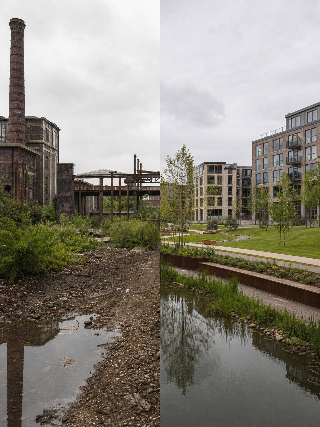
Brownfield development, building on former industrial sites, is both an environmental necessity and, from a design standpoint, genuinely interesting. You’re working with a loaded site. Old foundations, possibly contaminated soil, remnant structures that sometimes have architectural value.
The most interesting residential projects of the last decade internationally have often come from brownfield redevelopment. The King’s Cross area in London converted decades-old gasworks, train yards, and industrial buildings into a mixed residential and commercial district. The gasholders, Victorian iron ring structures, were preserved and converted into luxury apartment blocks. The structure became the form.
Contamination remediation as site design
When a site has soil contamination, the remediation strategy affects the layout. Areas with contamination too expensive to fully remediate can become parkland, where building foundations don’t penetrate the soil layer. This turns a liability into an asset — the site gets green space it might not otherwise have had.
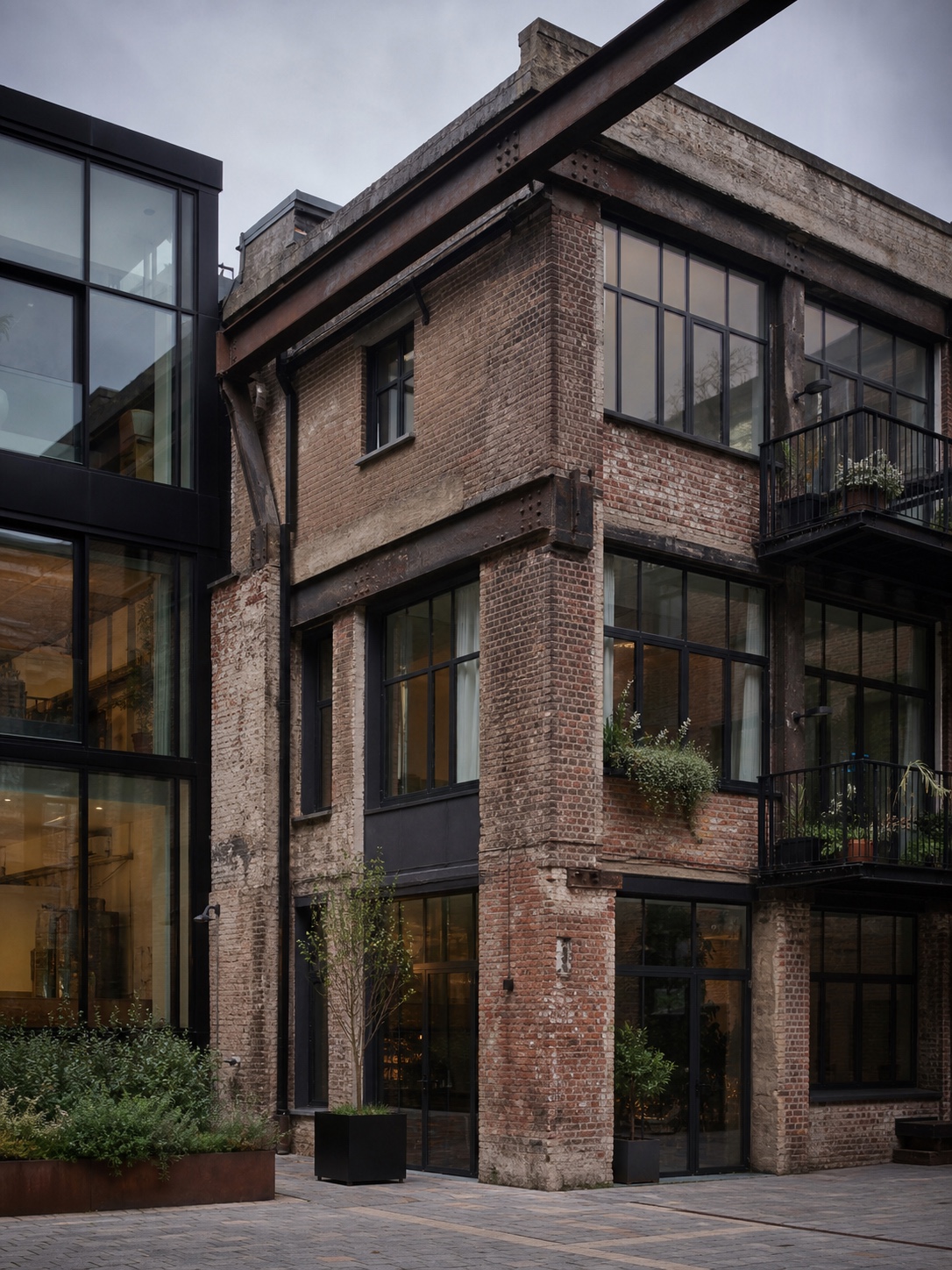
The physical grammar of industrial sites also tends to produce interesting spatial results. Large floor-to-ceiling heights from warehouse structures. Brick facades that carry patina. Exposed structural systems. These elements that would be expensive to build new come free with the existing building.
Public safety through design: what CPTED actually means
Crime Prevention Through Environmental Design (CPTED) is a framework I find genuinely useful because it approaches safety as a spatial problem rather than a policing problem. The principle is straightforward: spaces that have clear ownership, natural observation opportunities, and maintained appearances experience less crime than spaces with the opposite characteristics.
Chicago’s State Street corridor public housing demolitions in the 1990s and 2000s tested this at scale. The replacement low-rise mixed-income developments saw crime rates drop significantly, and analysis of the data pointed to specific design factors: active ground-floor frontages that created natural foot traffic, smaller building clusters where residents knew their neighbors, and clear spatial boundaries between public and semi-private areas.
Light as safety infrastructure
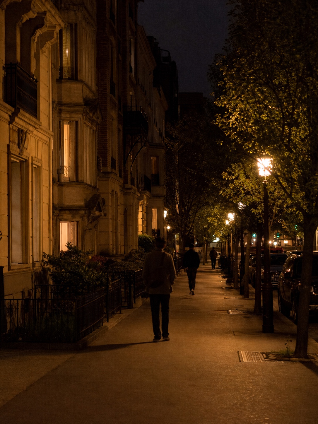
Lighting quality is one of the most underinvested safety interventions in residential development. Quality matters, not just quantity. A single bright overhead light creates harsh shadows that make spaces feel less safe, not more. Distributed lower-intensity lighting that illuminates vertical surfaces (walls, faces) at human scale is consistently rated as safer by residents, even when the total lumen output is lower.
This is an area where industrial design thinking about visual ergonomics maps directly onto urban design. The goal is a lit environment that matches how human vision works — adapted for reading scenes at face height, not for looking up at the sky.
What good residential development actually delivers
Strip away the planning jargon and what well-designed residential development produces is pretty specific. Streets where people want to walk. Buildings where residents want to stay. Outdoor spaces that get used without anyone being told to use them. Neighborhoods that work at 7am and at 10pm, in summer and winter, for children and for older adults.
None of this happens automatically. It comes from design decisions made deliberately, usually by teams who’ve thought carefully about precedents and have access to good research. But it also comes from treating the people who will live there as sources of genuine knowledge about what the place needs — not just as stakeholders to be consulted.
The cities getting this right (Vienna, Copenhagen, Berlin, Kyiv and Lviv) share one characteristic. They treat residential development as infrastructure, not product. The timeline is decades, not a sales cycle. The measure of success is whether people still want to be there in twenty years.
That’s a harder design brief than most. But it’s the honest one.
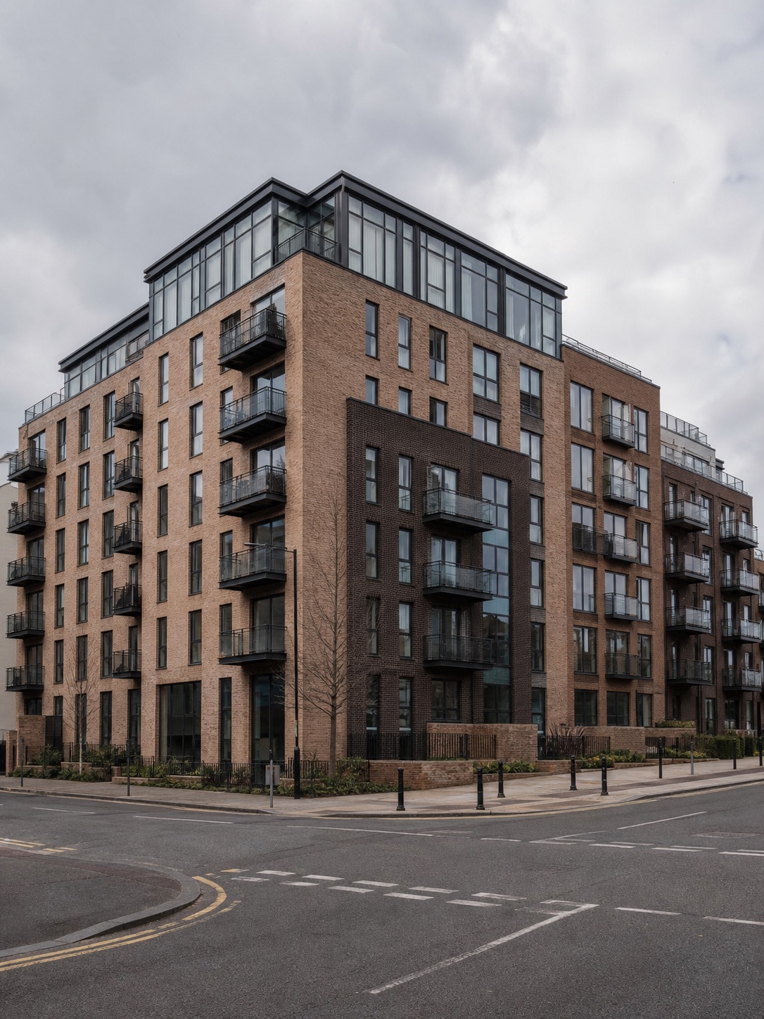

At neighborhood scale, architectural rhythm comes from repeated front doors, setbacks, balconies, street trees, and ground-floor activity rather than from one building alone.
For a more expressive urban reference, compare housing-scale planning with Zaha Hadid urban planning ideas, where civic landmarks reshape movement and identity around them.
Residential developments FAQ
What are residential developments?
Residential developments are planned housing projects that include single-family homes, apartment blocks, or mixed-use buildings. They range from small infill builds to large master-planned communities, and they shape how neighborhoods look, feel, and function over decades.
How do residential developments improve quality of life?
Well-designed residential developments improve quality of life by creating walkable streets, providing access to green space, reducing car dependence through transit-oriented planning, and building mixed-income communities where residents of different backgrounds can live and interact.
What is transit-oriented development?
Transit-oriented development (TOD) concentrates residential and commercial buildings within 500-800 meters of a rail or rapid transit station. This radius covers a 10-minute walk, which is the threshold beyond which most people default to driving. Vienna’s Seestadt Aspern district is a leading contemporary example.
What design mistakes do residential developments commonly make?
The most persistent mistake is the tower-in-the-park configuration: isolated residential blocks surrounded by large communal open space that no one takes responsibility for. Oscar Newman’s defensible space research in the 1970s identified this pattern as a driver of crime and neglect. Poor street connectivity, blank ground-floor walls, and inadequate lighting are other common failures.
How does affordable housing relate to design quality?
There is a misconception that affordable housing means lower design quality. Budget constraints actually demand better spatial thinking: efficient floor plan layouts, good natural light access, and durable materials. The Orchard Village Apartments in Detroit showed that well-designed affordable housing has low turnover and high resident satisfaction.
What is CPTED and how does it apply to residential design?
CPTED stands for Crime Prevention Through Environmental Design. It treats safety as a spatial problem: spaces with clear ownership, natural observation (eyes on the street), maintained appearances, and good lighting experience less crime. Distributed low-level lighting that illuminates walls and faces at human scale is more effective than a single bright overhead fixture.
What is the ideal building-to-street width ratio for walkable neighborhoods?
Jan Gehl’s research identified a 1:1 to 1:2 ratio of building height to street width as the sweet spot for pedestrian comfort. Below that range the street feels like an urban canyon; above it the street feels like a highway. Ground-floor active uses and building edges close to the pavement reinforce the effect.
What should a residential development checklist include?
Modern housing blocks rely on contemporary zoning, a massive departure from how famous Victorian buildings combined public utility with ornate styling.
A useful checklist should cover walkability, transit access, mixed-use ground floors, housing mix, public space, lighting, maintenance, and community input. I would also check whether the project still works without the sales render: can residents reach daily services, use outdoor space comfortably, and understand which areas are public, semi-private, or private?
Residential development planning can benefit from landscape architecture drone mapping when parks, streetscapes, drainage, and outdoor amenities need to work as one system.
- 37shares
- Facebook0
- Pinterest37
- Twitter0
- Reddit0